")
")


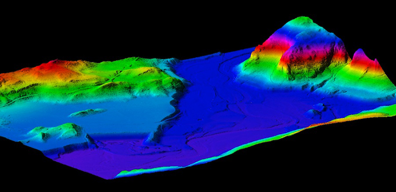
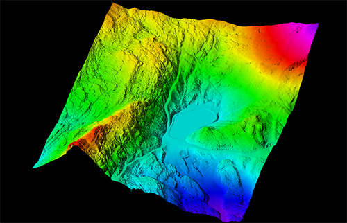
In airborne mode, the recent application of the Lidar technology (Light Detection and Ranging) to topography and mapping provide high density digital terrain models (MNT) or surface (MNS) with great efficiency.
Lidar remote sensing is the only technique capable of simultaneously detecting the surface of the ground and vegetation. It then provides a DTM of the soil and a DSM of the canopy. A density of several points per m² is accessible.
This non-intrusive technique is particularly suitable for topographical surveys of heavily forested areas, uneven or difficult to access.
This technology coupled with decades of production and innovation in photogrammetry has allowed us to acquire skills from acquisition to topographic drawings or high density 3D digital models.
A high resolution stereoscopic photographic coverage may be associated with the lidar survey to provide orthophoto.
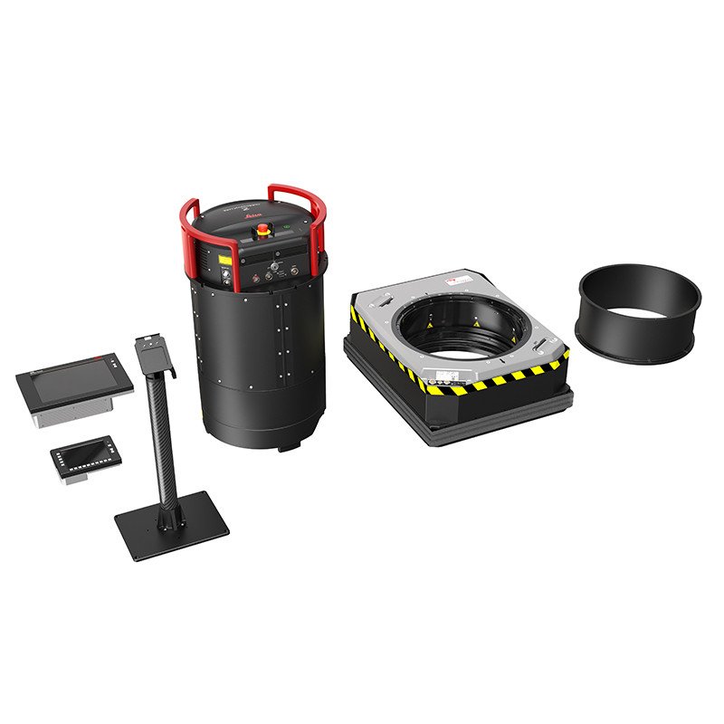
Our LiDAR sensors
APEI has a two Leica sensor which provide LiDAR data: CityMapper 2 with Hyperion 2+ and TerrainMapper 2 with Hyperion 2. These sensorscan be installed on all airplanes. This gives us high availability and rapid implementation, in France or abroad.
To read more about our CityMapper 2
To read more about our TerrainMapper 2
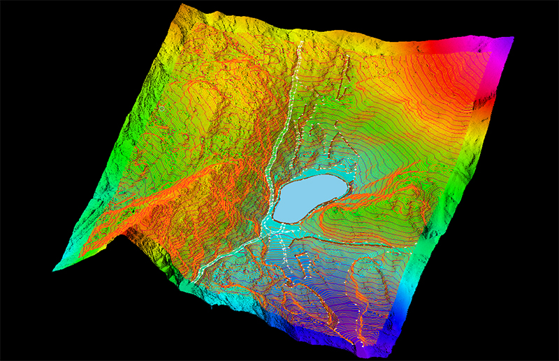
Deliverables : DTM / DSM / Contours / profiles / intensity images …
Applications
This technology is applicable to different types of needs:
- Corridors linear projects
- Forest management
- Mining
- Mountainous topography, cliffs, glaciers …
- Natural hazards
- Urban digital elevation model
- Hydraulic Projects and Studies (banks...)