")
")


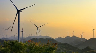
Wind turbine installations using LIDAR
The airborne lidar technique is an essential tool for wind turbine installation studies. The advantages of LIDAR are the following:
- Direct 3D measurement with high accuracy
- Topography under forest cover or on difficult terrain
- Quick coverage of a large area
- Possibility to couple a medium format camera for orthophotography
A single survey generates the deliverables essential to your feasibility studies for one or more sites in an extremely short period of time:
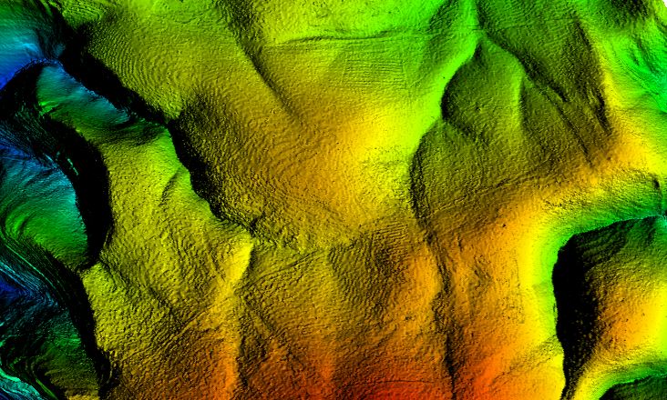
- High precision DTM (Digital Terrain Model) in LAS or ASCII or GeoTIFF format
- High precision DSM (Digital Surface Model) in LAS or ASCII or GeoTIFF format
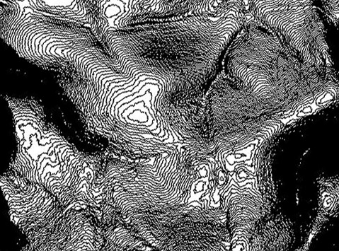
- Plan in dwg or dgn format with contour lines at 0.5m steps
- Orthophotography
The DTM (Digital Terrain Model) allows the following analysis:
- High-precision survey for installation studies in very hilly areas that are difficult to access by land-based topographic measurements (scrubland, high relief area, etc.)
- High-precision survey for work planning and in particular access studies for large gauge convoys (transport of the nacelle and blades)
The DSM (Digital Surface Model) allows the following analysis:
- Visual impact analysis of the wind farm (e.g. visibility and covisiblity). The DSM lidar allows to take into account the real mask generated by the vegetation (trees, forests)
- Aerodynamic and acoustic modelling
- Acoustic modelling by simulating the propagation of emitted sound to dwellings using topography
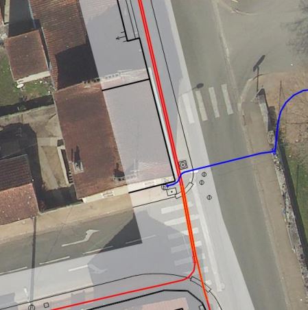
The french "anti-damage of networks" reform aims to reduce the number of accidents likely to occur when work is carried out near networks (pipelines, public lighting, etc.). In this sense, this reform encourages local authorities to have a Simplified Street Plan (PCRS).
This can take the form of a vector plan (containing mainly curbstones, vertical building facades and network outcrops) or an orthophotography. According to the CNIG (National Council for Geographic Information) "the PCRS Image version can be considered as an alternative to the PCRS Vector for territories not covered by urban databases, in sparsely populated urban areas and in rural areas" (see CNIG website).
The orthoplan must respect a resolution of 5cm. Aerial acquisition should preferably be made outside the vegetative period in order to allow the best possible visualization of the street backgrounds.
Purpose
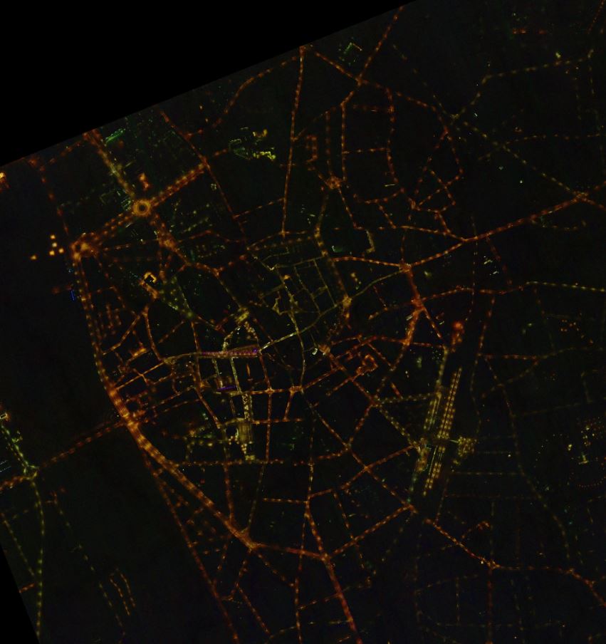
Following the same concept as diurnal orthophotography, nocturnal orthophotography consists of an aerial images mosaic with relief distortion and perspective corrections, in order to be itself registered on a diurnal orthophotograph for analysis and classification. Night aerial photography makes possible to verify the light pollution coming from the ground that could have a negative impact on the environment by distinguishing several criteria:
- location: size of the place lit, quantity of lighting installed (over-illumination)
- the type of lamp: lamps prohibited to use (mercury vapor lamp), excessive diffusion (glare)
- the shape: orientation of the light diffusion (diffusion towards the sky)
The knowledge of the luminous environment makes it possible, thanks to night orthophotography, to respond effectively to economic needs by carrying out costs dedicated to public lighting by improving the current criteria, but also to decrease its impact on biodiversity.
An example of night orthophotography on the town of Moulins, France, carried out in 2020:
Forest
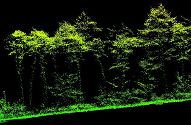
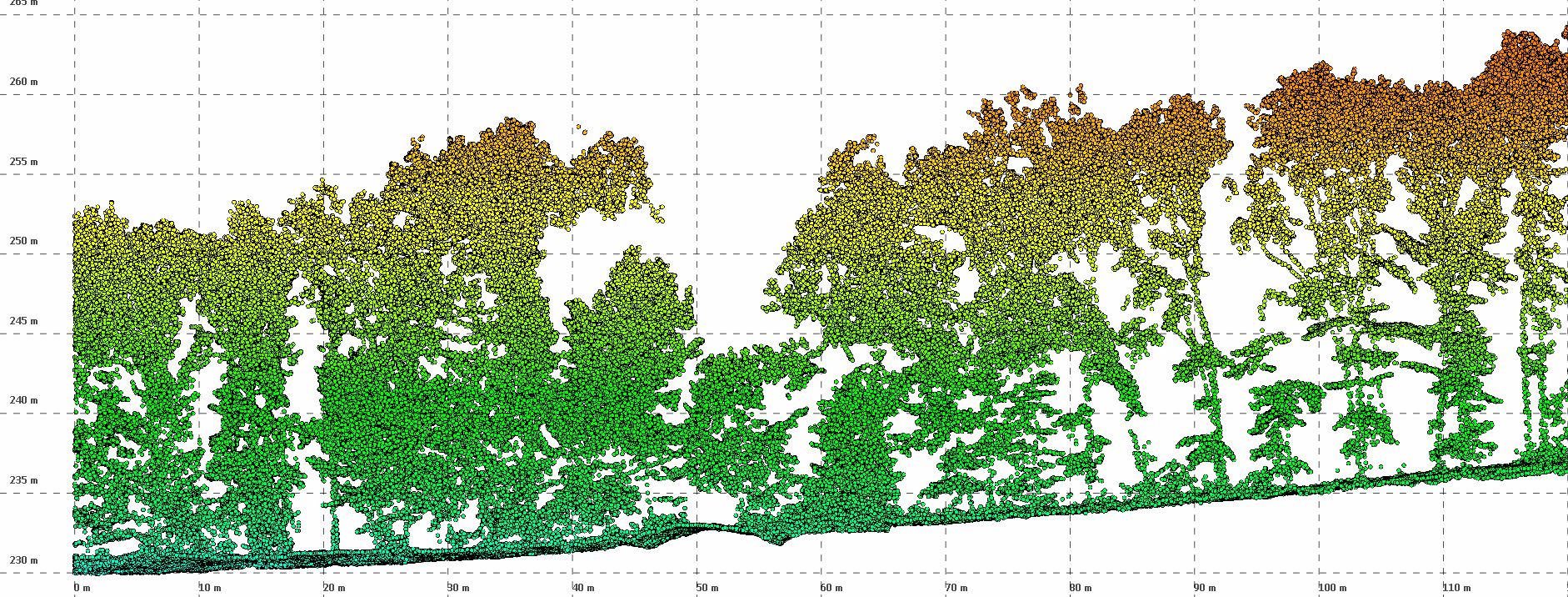
To optimize the management of forest assets and better assess wood resources, LiDAR is the ideal tool for forest management.
LIDAR (Light detection and ranging) makes it possible to obtain extremely precise maps at the scale of a forest stand such as:
- the mapping of the heights of forest stands,
- the detection of the existing forest service (roads and forest tracks)
- the area or volume occupied.
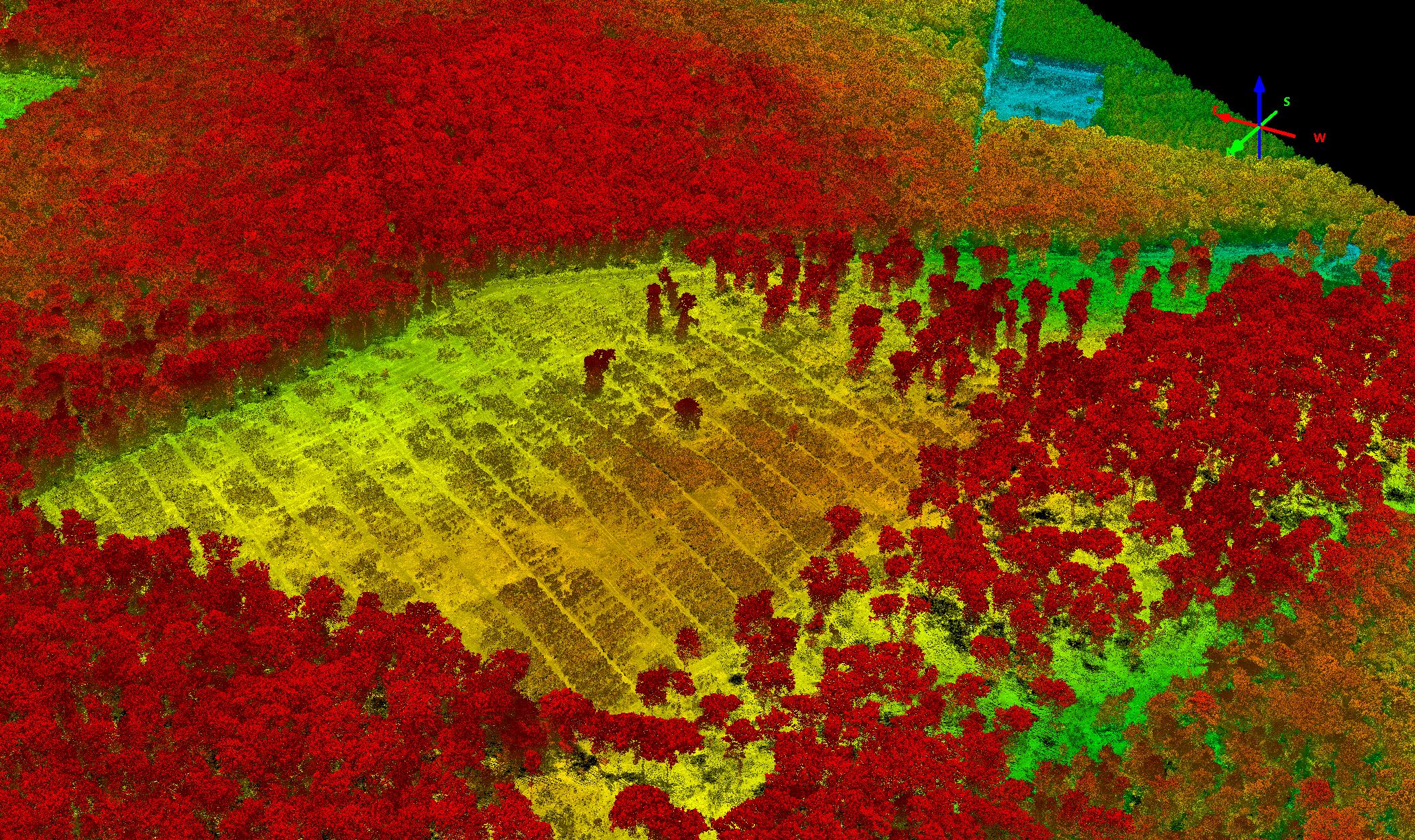
In order to achieve good results, it is important to offer:
- a homogeneous distribution of points
- high density
- fine detection of vertical surfaces such as trunks
For this, it is important to implement an efficient lidar. The Citymapper's lidar is the ideal answer. In fact, this lidar which pulses at 2 MHz makes it possible to offer a particularly high density. Moreover, its innovative scanning system (ciruclary mode with constant 40 ° FOV) allows echoes to be obtained on a single flight band at the front and rear of a trunk, even at nadir. It is therefore no longer necessary to use strong lateral overlaps to obtain echoes on the trunks.
Transport