")
")


Forest
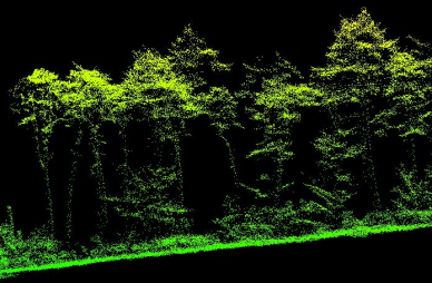
To optimize the management of forest assets and better assess wood resources, LiDAR is the ideal tool for forest management.
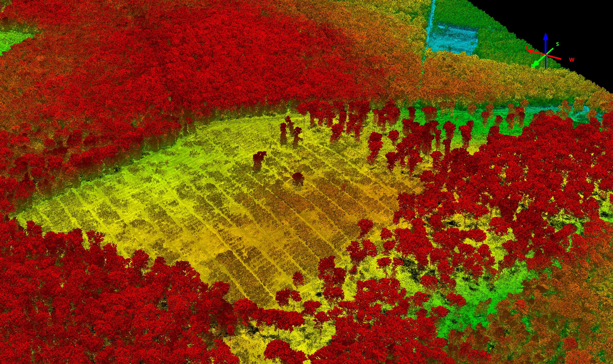
LIDAR (Light detection and ranging) makes it possible to obtain extremely precise maps at the scale of a forest stand such as:
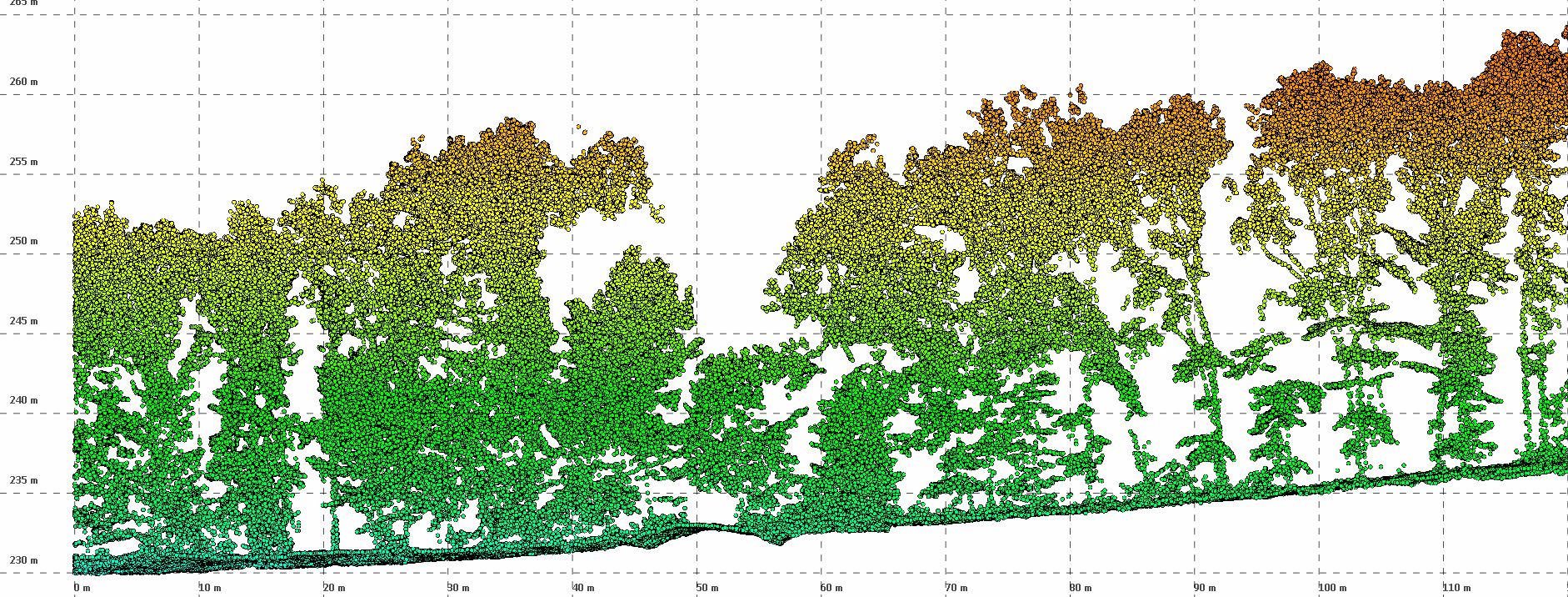
- the mapping of the heights of forest stands,
- the detection of the existing forest service (roads and forest tracks)
- the area or volume occupied.
In order to achieve good results, it is important to offer:
- a homogeneous distribution of points
- high density
- fine detection of vertical surfaces such as trunks
For this, it is important to implement an efficient lidar. The Citymapper's lidar is the ideal answer. In fact, this lidar which pulses at 2 MHz makes it possible to offer a particularly high density. Moreover, its innovative scanning system (ciruclary mode with constant 40 ° FOV) allows echoes to be obtained on a single flight band at the front and rear of a trunk, even at nadir. It is therefore no longer necessary to use strong lateral overlaps to obtain echoes on the trunks.