")
")


Communication networks
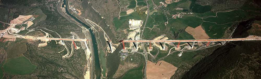
Managers of road and rail infrastructures have specific needs for geo-referenced data covering their network. The airborne survey "a corridor" centered on their network are usually necessary. This will be most often a high resolution aerial survey and possibly associated with a lidar survey
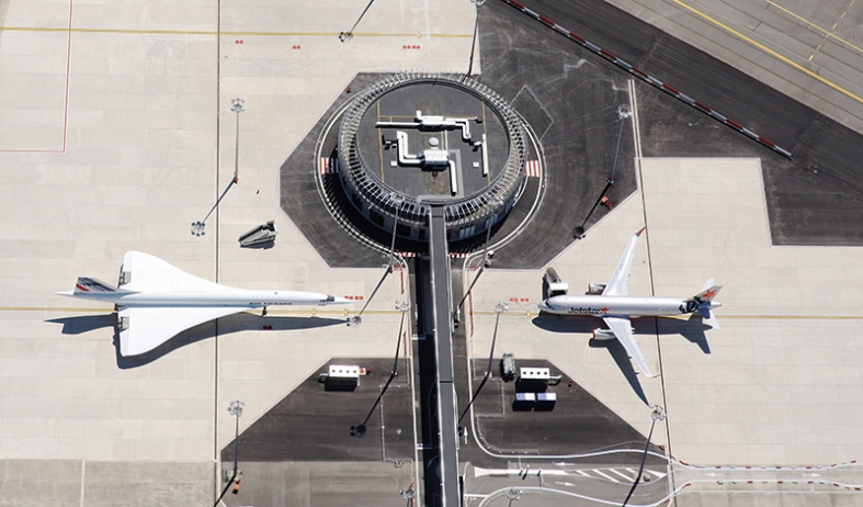
Airport
Airports must list all the obstacles close or exceeding certain aeronautical servitude plans. The use of aerial photos is the most suitable technology to meet this need with sufficient accuracy and in a timely and acceptable costs.