")
")


 Flood preparedness and mitigation plan
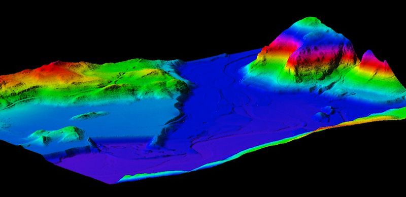
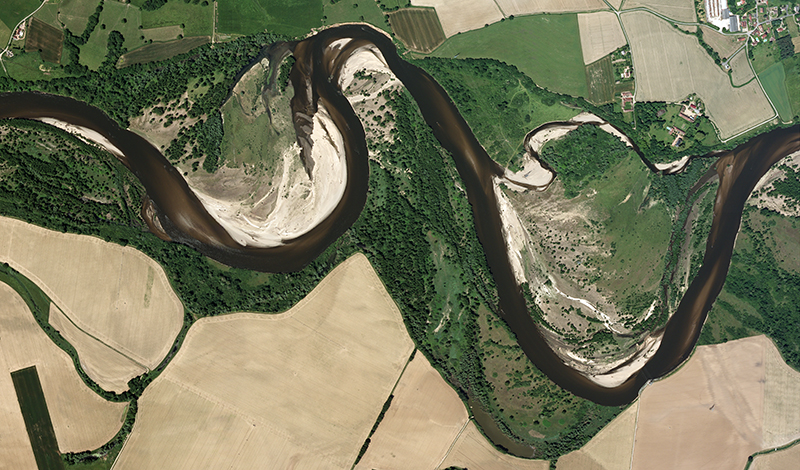
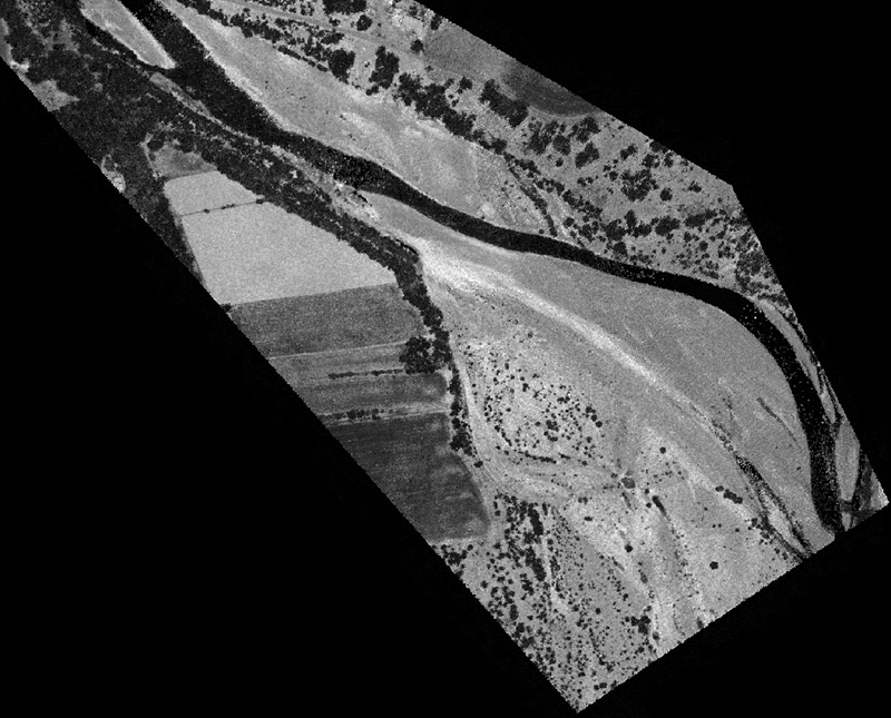
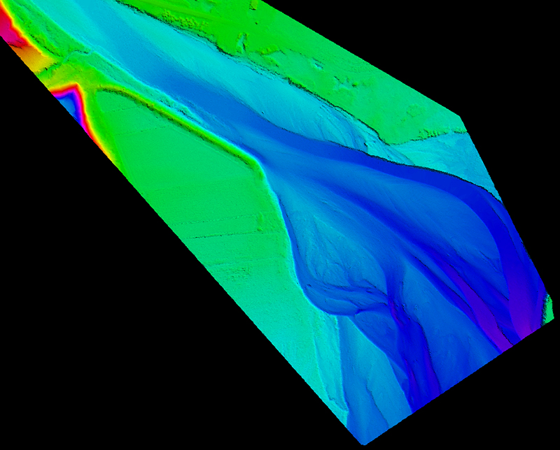
Data from an aerial survey used to establish a high accuracy digital terrain model of all sensitive areas (rivers, coast ...). This model can be used to perform hydraulic studies simulating the increased river flow. These data will help experts to implement a flood mitigation plan.
Emergency shooting (natural disaster)
Because of its great mastery of permits to fly, APEI is able to react quickly and propose emergency shots to describe the territory in case of emergencies (natural disaster, flood, earthquake ...) . This data can be made available for crisis management organizations or rescue teams in a very short time.