")
")


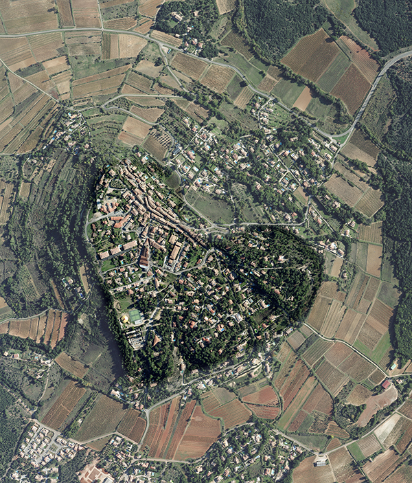 The aerial shots are commonly used for the establishment or land registry update both at the scale of a town or an entire country.
Generally the services made use of panchromatic view (PAN) and color (RGB). Resolutions are between 6 and 7 cm / pixel.
We routinely work with cadastral offices in the country. Our expertise and our quality of work make APEI recognized and appreciated provider.
We comply in all respects with the cadasaster agencies requirements for aerial survey.
References:
MAROCCO
Aerial survey for cadastral applications
ANCFCC – Agence nationale de conservation foncière du cadastre et de la cartographie
40000km² GSD 40cm/pixel
Madagascar
Antananarivo, Boeny, Diana, Vakinankaratra, Menabe, Atsinanana, Amoron’I Mania areas
Total area 99 695 km²
GSD 50cm/pixel
MCA-Madagascar-Ministère de l’Agriculture, de l’élevage et de la Pèche Plan National Foncier