")
")


The french "anti-damage of networks" reform aims to reduce the number of accidents likely to occur when work is carried out near networks (pipelines, public lighting, etc.). In this sense, this reform encourages local authorities to have a Simplified Street Plan (PCRS).
This can take the form of a vector plan (containing mainly curbstones, vertical building facades and network outcrops) or an orthophotography. According to the CNIG (National Council for Geographic Information) "the PCRS Image version can be considered as an alternative to the PCRS Vector for territories not covered by urban databases, in sparsely populated urban areas and in rural areas" (see CNIG website).
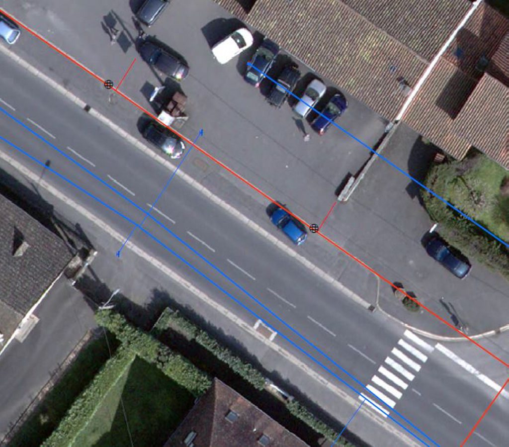
The orthoplan must respect a resolution of 5cm. Aerial acquisition should preferably be made outside the vegetative period in order to allow the best possible visualization of the street backgrounds.