")
")


Wind turbine installations using LIDAR
The airborne lidar technique is an essential tool for wind turbine installation studies. The advantages of LIDAR are the following:
- Direct 3D measurement with high accuracy
- Topography under forest cover or on difficult terrain
- Quick coverage of a large area
- Possibility to couple a medium format camera for orthophotography
A single survey generates the deliverables essential to your feasibility studies for one or more sites in an extremely short period of time:
- High precision DTM (Digital Terrain Model) in LAS or ASCII or GeoTIFF format
- High precision DSM (Digital Surface Model) in LAS or ASCII or GeoTIFF format
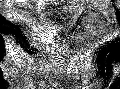
- Plan in dwg or dgn format with contour lines at 0.5m steps
- Orthophotography
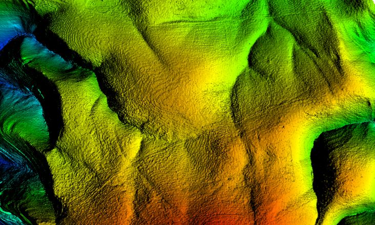
The DTM (Digital Terrain Model) allows the following analysis:
- High-precision survey for installation studies in very hilly areas that are difficult to access by land-based topographic measurements (scrubland, high relief area, etc.)
- High-precision survey for work planning and in particular access studies for large gauge convoys (transport of the nacelle and blades)
The DSM (Digital Surface Model) allows the following analysis:
- Visual impact analysis of the wind farm (e.g. visibility and covisiblity). The DSM lidar allows to take into account the real mask generated by the vegetation (trees, forests)
- Aerodynamic and acoustic modelling
- Acoustic modelling by simulating the propagation of emitted sound to dwellings using topography